
Gaza: new Google Maps images reveal scale of destruction
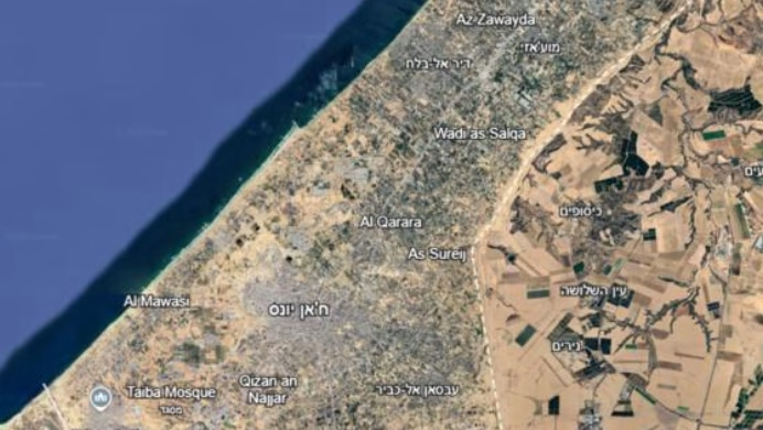
New satellite images available on Google Maps show the scale of destruction in the Gaza Strip. They reveal entire neighborhoods devastated, buildings collapsed and thousands of homes reduced to ruins.
The images, taken in particular in June 2026, make it possible to measure the extent of the damage in several towns in the Palestinian enclave, notably Rafah, Jabaliya, Beit Hanoun and Beit Lahiya. Comparing them to photographs taken before the war, we discover neighborhoods once full of life, today almost unrecognizable. It is estimated that around 82% of structures in the Gaza Strip were damaged. The United Nations estimates the volume of rubble at nearly 61 million tonnes. Behind these figures, thousands of homes, businesses, schools and places of worship have been destroyed or seriously damaged.
These images also tell what the numbers cannot show: families who have lost their homes, children who no longer have school and residents who no longer recognize the streets on which they grew up. For many Palestinians, returning home now means finding a pile of rubble where their house used to be. Neighborhoods where several generations have lived have disappeared. With them, memories, meeting places and a part of daily life were taken away.
The reconstruction promises to be immense. Not only will it be necessary to rebuild housing, but also to rehabilitate roads, water networks, hospitals and schools. A project that will require years and considerable resources. Beyond the material destruction, these new images above all recall the scale of the genocide experienced by the population of Gaza and the difficulties that the Palestinians will have to face in rebuilding their lives.
